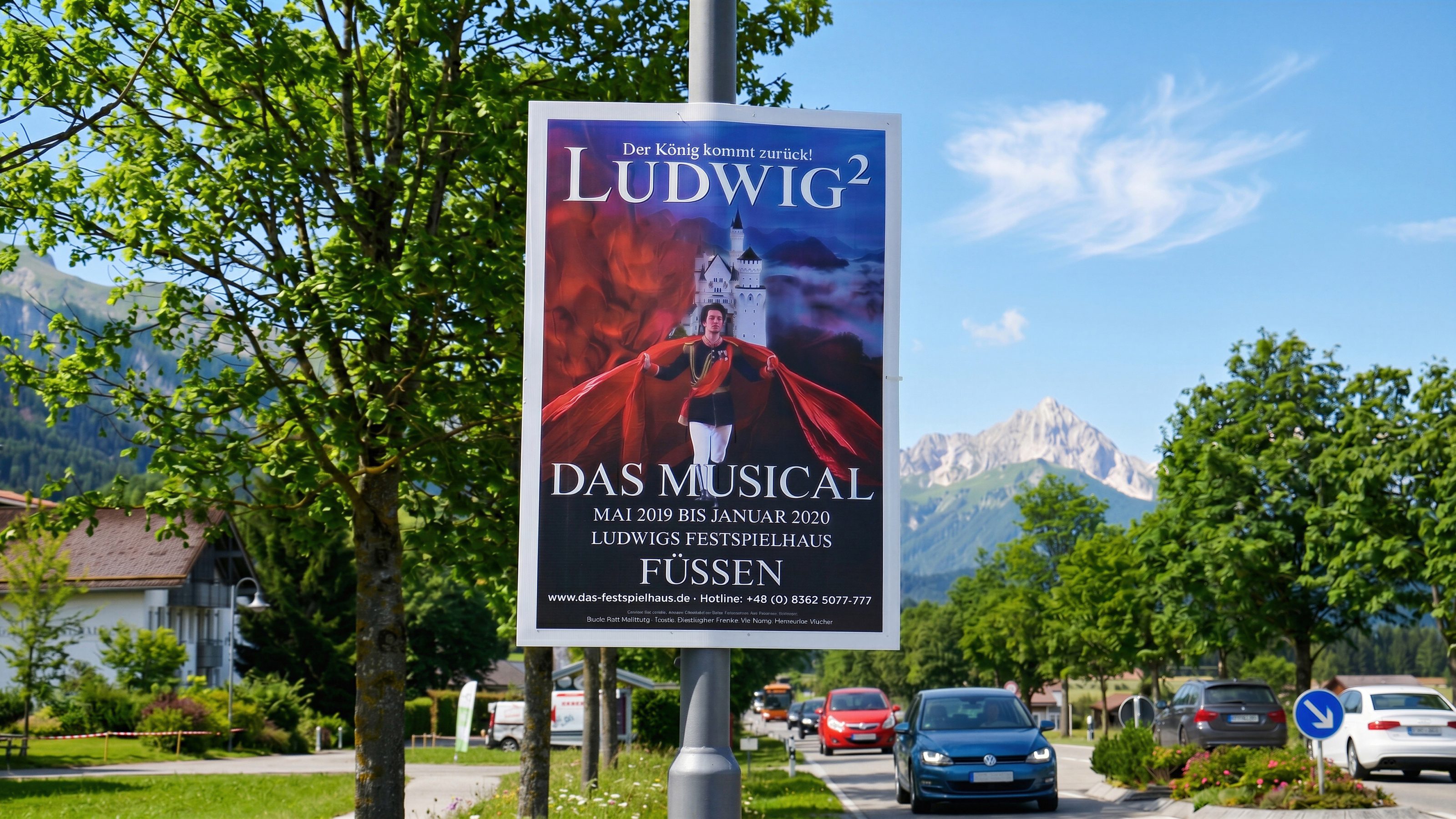
Street posters, election posters, and event posters
Poster campaigns & outdoor media
Bavamont plans poster campaigns with existing artwork: print data checks, permit handling, production when needed, placement clarification, mounting, removal, and disposal in the agreed campaign area.
Outdoor advertising with a plan
Bavamont supports poster campaigns from design to repeated placement at strategic locations.
Outdoor media
Poster campaigns with region, process, and ownership.
Services
- Print data checks for already designed posters
- Handling required permits and municipal requirements
- Poster production if printing is still needed
- Street poster campaigns in the agreed target area
- Mounting, removal, disposal, and repeated placement
Campaign types
Election posters, event posters, campaign posters, and regional outdoor media in Ostallgäu, Westallgäu, Unterallgäu, Oberallgäu, Oberbayern, Oberschwaben, around Lake Constance, and in Tyrol.
Locations
Street poster campaigns by location
For election posters, event posters, and outdoor media, print data, permits, area, runtime, mounting, and removal are coordinated.
All locationsPlan poster campaigns in the target region
Send region, timing, quantity, format, and print data. Bavamont checks process, handles required permits, and plans mounting, removal, and disposal.