Election posters, event posters, and outdoor media
Street poster campaigns in Buchloe
Buchloe is interesting for compact regional campaigns between Ostallgäu, Kaufbeuren, and Augsburg.
Election posters, event posters, and outdoor media
Make posters visible reliably in Buchloe
Street poster campaigns, election posters, and event posters need clear target areas and realistic timing.
Most clients already have finished artwork. Bavamont handles execution: technical print data checks, permits, production only when needed, mounting, checks, and removal.
Buchloe
For elections, events, and promotions
Permits
We handle required permits and consider deadlines, conditions, and municipal requirements.
Election posters
Election posters are planned by deadline, quantity, mounting, and removal.
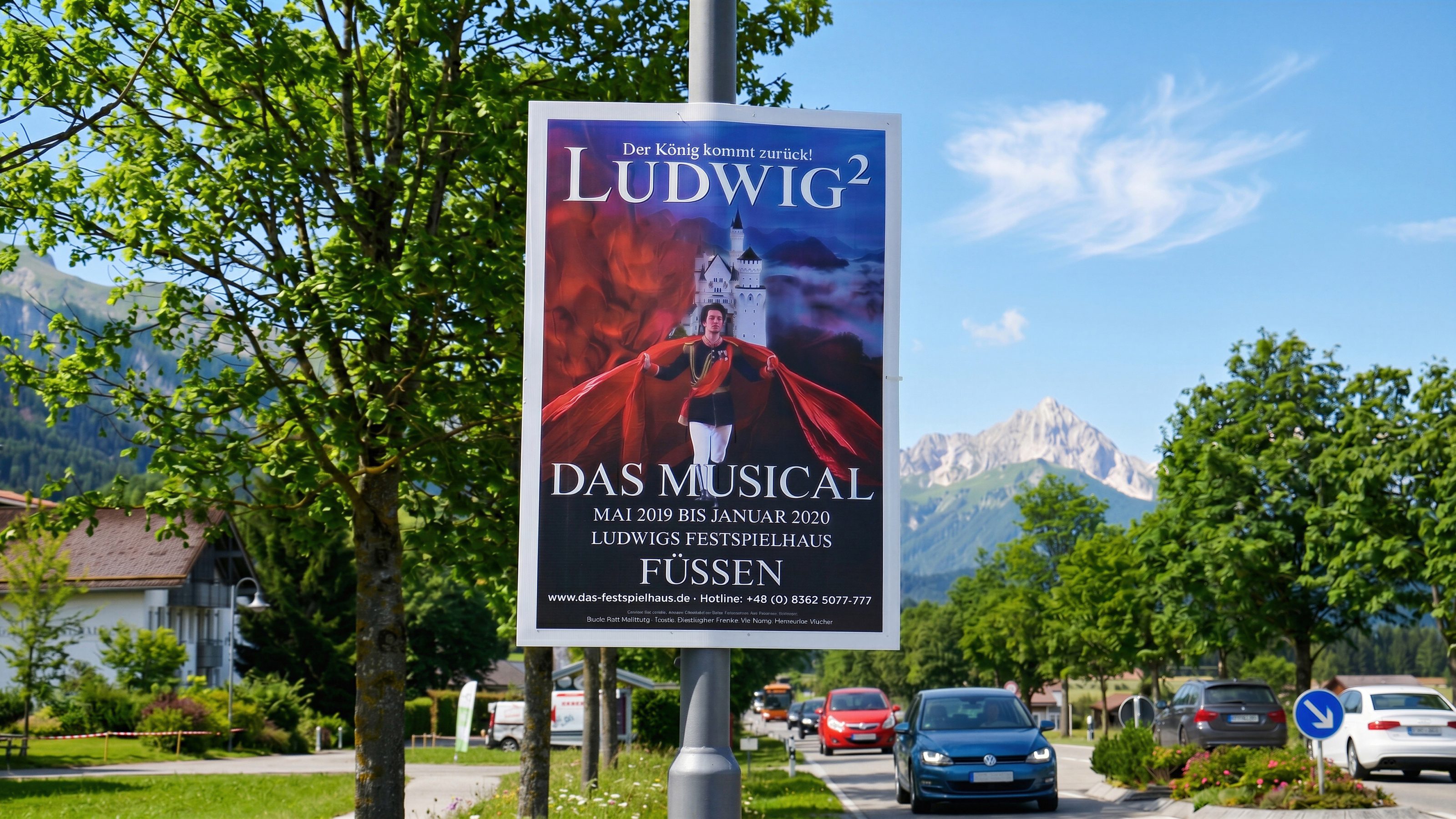
Event posters
Event posters support dates, promotions, and local visibility when lead time fits.
Mounting and removal
Mounting, checks, removal, and disposal are prepared around the agreed timing.
Street poster campaigns
Prepare an enquiry for Buchloe
For Buchloe, a lean process with finished print data, clear quantity, and reliable execution matters.
Useful for the enquiry
- Location, desired area, and runtime
- Campaign type: election posters, event posters, or promotion
- Format, quantity, and finished artwork
- Print data or note if production is needed
- Date when posters need to be visible
Request street poster campaign in Buchloe
Send occasion, timing, quantity, and print data. Bavamont plans poster campaigns for Buchloe.